 by
by 
Michigan’s Great Sauk Trail is a major Native American route that ran between Detroit, Chicago, and terminated at Rock Island on the Mississippi River.
Originally created by migrating bison, the trail was only about a foot wide but also a foot deep as eons of travelers walked along with it single file. It was used over a thousand years. Starting near Ypsilanti, Ann Arbor, Jackson, Marshall, Battle Creek, and finishing out of Michigan by way of Coldwater, Sturgis, and White Pigeon.
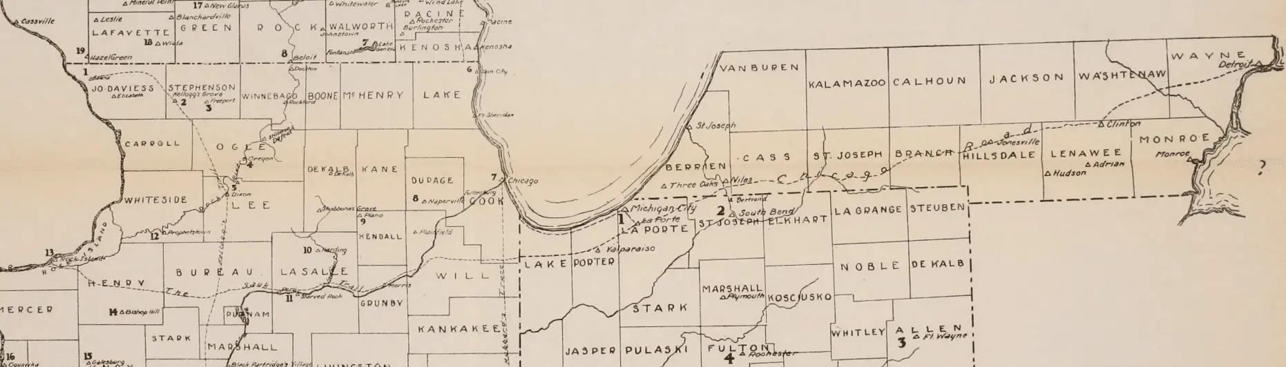
Most sources describe the Great Sauk Trail (Sauk Trail) as running about 400 miles end-to-end. This figure is an estimate because the route was an old Indigenous footpath with multiple branches and local variations over time. But the commonly cited “bookends” are Rock Island, Illinois, to the Detroit River area, which is why you’ll see it described as a long east–west corridor across Illinois, Indiana and Michigan.
Michigan’s Great Sauk Trail – A Route for Tribute
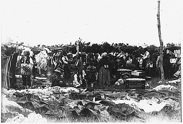
For over forty years the tribes of Sauk, Chippewas, Potawatomi, and Fox used the trail for their annual trek to the English settlement at Fort Malden near Amherstburg Ontario. Here they received their annual peace offering as part of a treaty settlement with each tribe. The tributes were stopped by the British in the late 1830s and the annual pilgrimage ceased.
The Great Sauk Trail of History
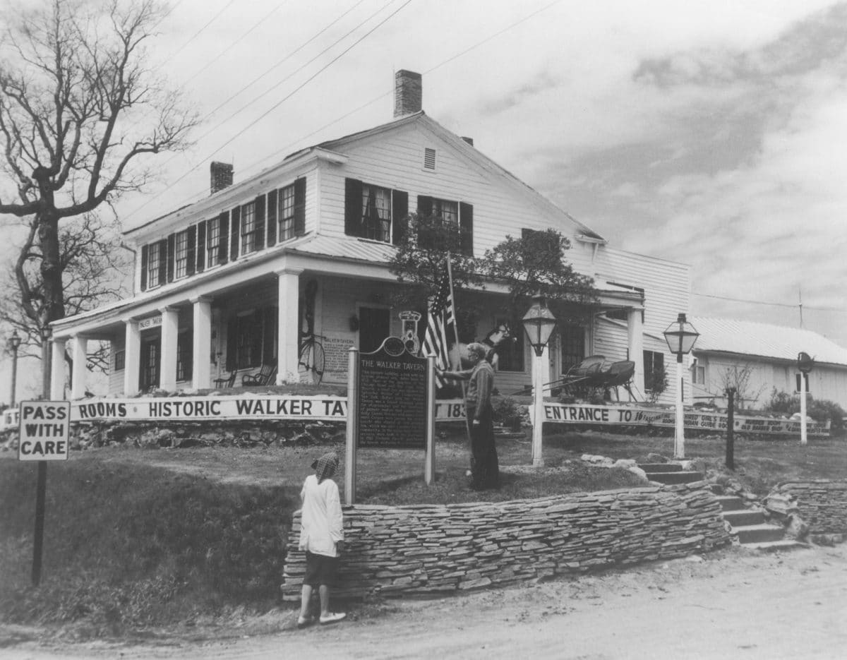
The trail cuts through the historical area known as Irish Hills. It was noted in 1830 that an ox team was passing about every five minutes along the trail. That same year, the Great Western Stage Lines began operations with two stagecoaches per day running between Detroit and Chicago. The famous Walker Tavern was built at Cambridge junction where the Michigan’s Great Sauk Trail crossed the La Plaisance Trail. The tavern served as a cultural focal point acting as a stagecoach stop, tavern, and even held church services. It had famous visitors such as James Fenimore Cooper and Daniel Webster.
About 50 miles from Detroit is the town of Tecumseh. The name taken from the great Shawnee Chief who rallied tribes to go to war with the United States on the side of the British during the War of 1812.
Michigan’s First Explorers
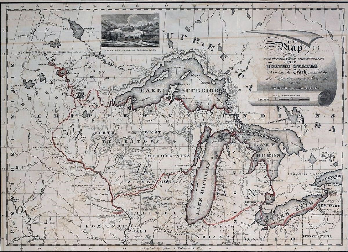
In 1820 Henry Schoolcraft was on an expedition with Lewis Cass near Michigan City, Indiana, described the trail, as a “plain horse path, which is considerably traveled by traders, hunters, and others…” and said that a stranger could not follow it without the services of a guide because of the numerous side trails. It was so well established that the state followed the trail for the Chicago Road (M-12) construction in 1827.
Southwest Michigan History
In Southwest Michigan, near the Indiana border, is the site Parc Aux Vaches or cow pasture. Named for the area given by the French when they observed large herds of wild bison grazing. The site is the crossroads for the Sauk and the Miami Trail. The Miami Trail was a portage between the Grand and the Wabash rivers. About 1808, French fur trader Joseph Bertrand established a post in this area. Bertrand married Madeline, who was said to be the daughter of Potawatomi Chief Topenebee.
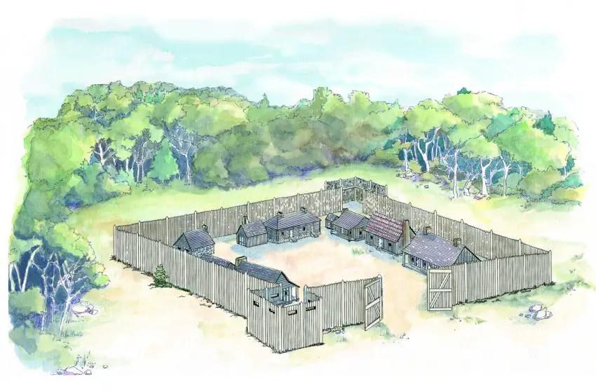
A major point along the trail is Niles, Michigan; here, Ft. Joseph was erected in the 1680s by French Jesuits, and was one of the earliest European settlements in the western Great Lakes region. Its river crossing was strategic as a northern stronghold of its territory along the Mississippi and Lake Michigan. Niles is the only Michigan city to be held by four different countries. Spain, France, Great Britain, and the United States.
Sturgis is at the crossing point of the Sauk and Notawaseepe Trails. Settled by the Amish. Nearby by Coldwater was a junction in the Underground Railroad for escaping slaves on their way to Canada.
Related Michigan Indian Trails
- Michigan Indian Trails
- Saginaw Trail
- Shore Indian Trail – Hull’s Trace
- Indian Trails of Michigan’s Upper Thumb


My heart goes back to the beginning of my life born in pigeon 1952 I am still alive in California but miss my mother and sister and brother Scott this was where I came from