Michigan Time Lapse – Changes In Michigan’s Thumb Over 39 Years
Watch a time lapse account of over 40 years of change of Huron County. Watch change across Huron County’ s landscape beginning as early as 1984.
Finding Fun in Michigan & Beyond
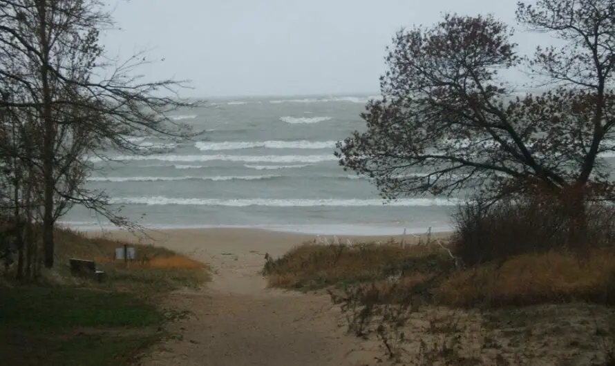
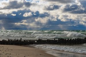
Thumbwind tracks and reports on the status of the Great Lakes Water Levels. From the record lows of 2013 to the record high water levels of 2020.
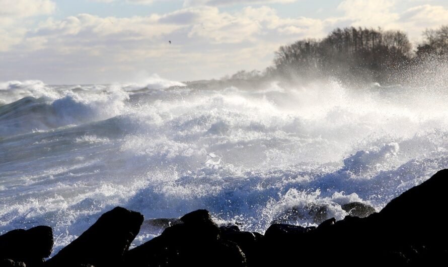
Watch a time lapse account of over 40 years of change of Huron County. Watch change across Huron County’ s landscape beginning as early as 1984.
A more troubling part of the study’s forecast was that Lake Michigan-Huron is expected to decrease to 174.5 by 2030, only eight years away. This would make it 3.5 feet lower than the lows measured between 2000 and 2014. Such a drop may render some coastal ports and marinas inoperable, and it may be possible to walk to numerous islands on Lake Huron’s Georgian Bay and North Channel.
An Idaho radio station cites the political power of the western states as a potential lever to pump Great Lakes water to drought-stricken west.
Is it possible that the entire Great Lakes Region could become an oasis for a water-starved America.
The Detroit Army Corps of Engineers have kept records of ice coverage going back to 1973. The map shows the current extent of the ice cover on the Great Lakes.
We are tracking the Great Lakes Ice Coverage for the Winter of 2021.
Sill break walls along the Lake Michigan shore is a natural-looking method of holding and collecting beach sand and prevent erosion.
Lake Huron residents may find it a suitable option for their beach or lake easement property.
Learning the major effects of ice on the Great Lakes will be crucial. Access to ice cover data is essential. Ice on the Great Lakes …
The next time you brush your teeth or wash your face you may be contributing to adding plastic into the Great Lakes.
On January 1, the STORM Act was been signed into law. It provides support for communities facing rising water levels and erosion on the Great Lakes.