
 by
by 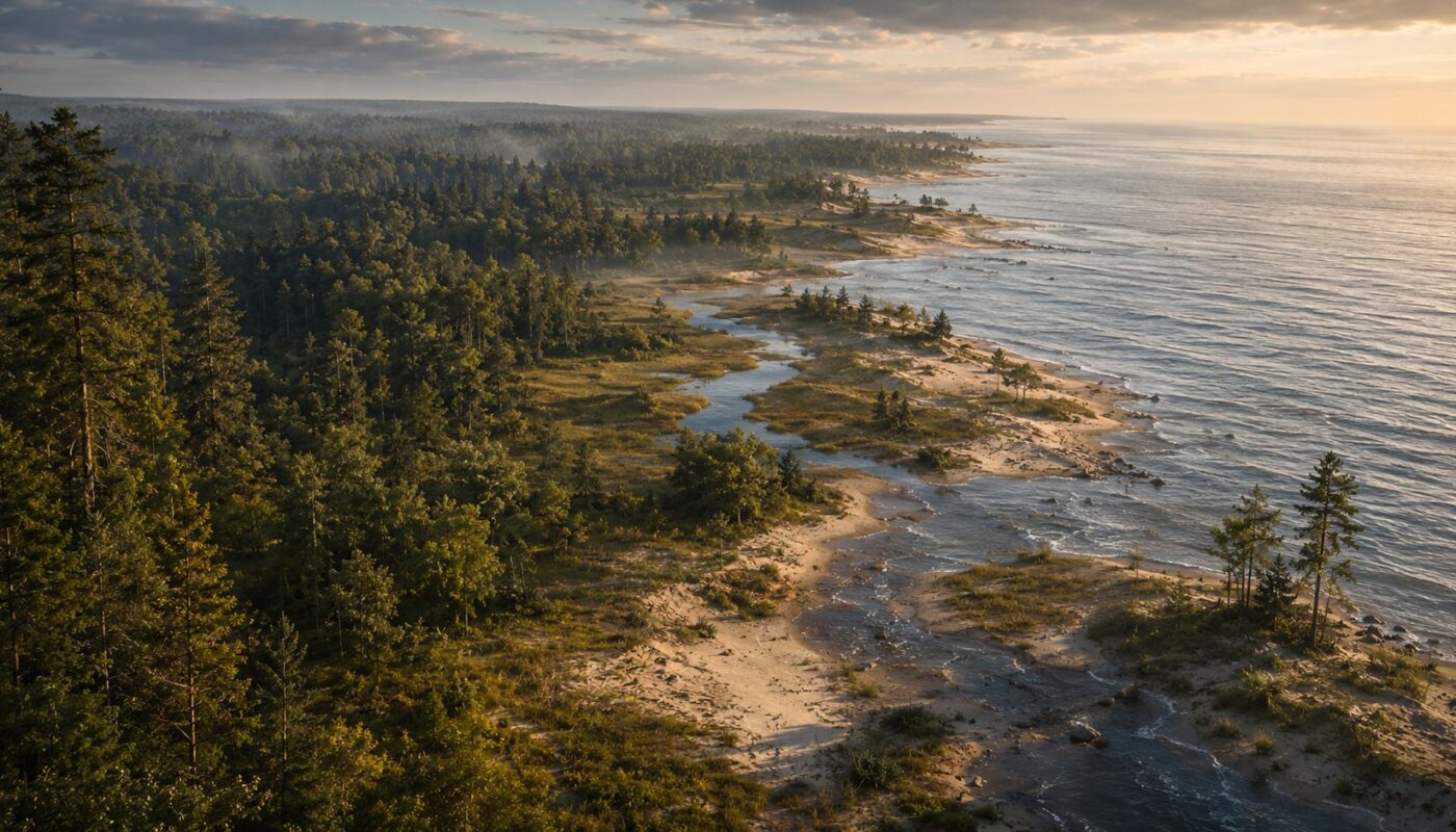
Original federal survey maps and early Huron County records show a shore of sand ridges, swamps, rivers and dense forests decades before lumbering, farming and roads remade Michigan’s Thumb.
Remove M-25 from the map. Take away the cottages, utility lines, farm fields and roadside businesses. Erase Caseville’s bridge over the Pigeon River and the streets leading through Port Austin. Now head east in 1835. This is the start of modern Huron County history taken from a surveyors perspective.
The trip would bear little resemblance to today’s drive along the Lake Huron shore. Instead of a continuous road, a traveler would encounter sandy ridges, wet ground, river crossings and forests dense enough to make overland travel a serious undertaking.
Federal surveyors were among the first Americans to systematically measure this part of northern Huron County. Their work, combined with survey-based vegetation records and later pioneer accounts, provides a surprisingly detailed picture of the land before large-scale logging and settlement.
It also shows that calling the Thumb an “unbroken forest” misses much of the story. The country between Caseville and Port Austin changed considerably from mile to mile.
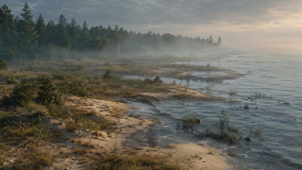
Ed Note: Historical reconstructions created with digital tools using early survey records, pioneer accounts and modern natural-resource data; not an archival photograph.
Huron County History Begins With the Federal Surveyors Arriving Before the Lumbermen
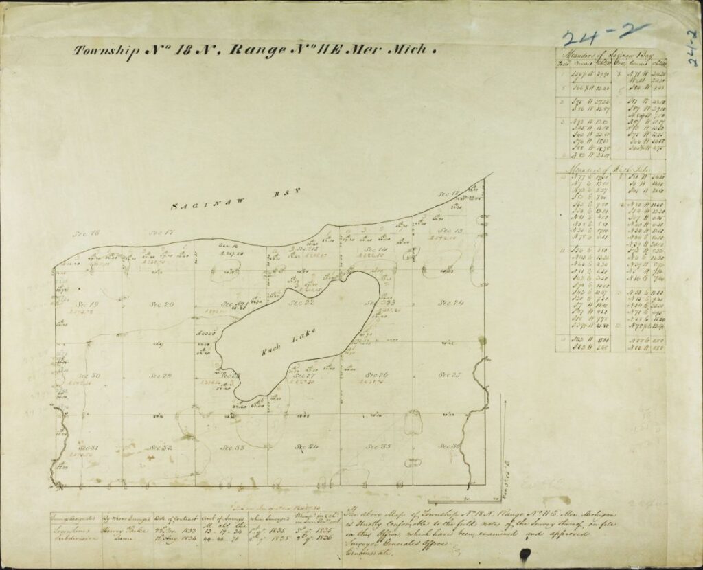
Hervey Parke surveyed portions of the Caseville area and Lake Township in 1835. Farther east, Parke and Jehiel Enos worked through Austin Township in 1834 and 1835.
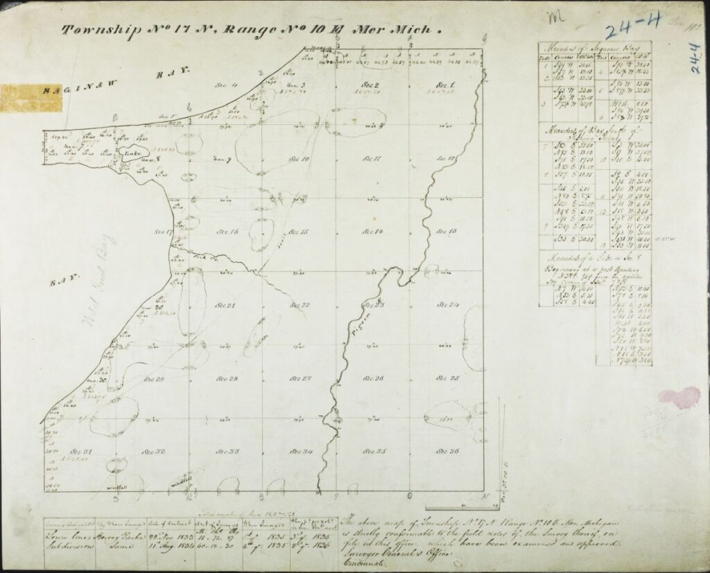
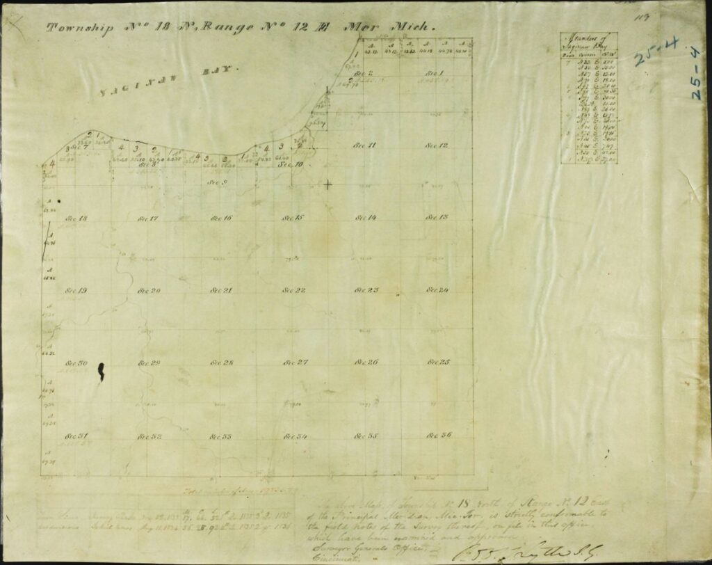
Those original General Land Office maps survive in the Archives of Michigan’s Surveyor Maps collection. The Lake Township map, for example, identifies Parke as the surveyor and records the township as measured in 1835. Austin Township’s central section was measured a year earlier by Enos and Parke.
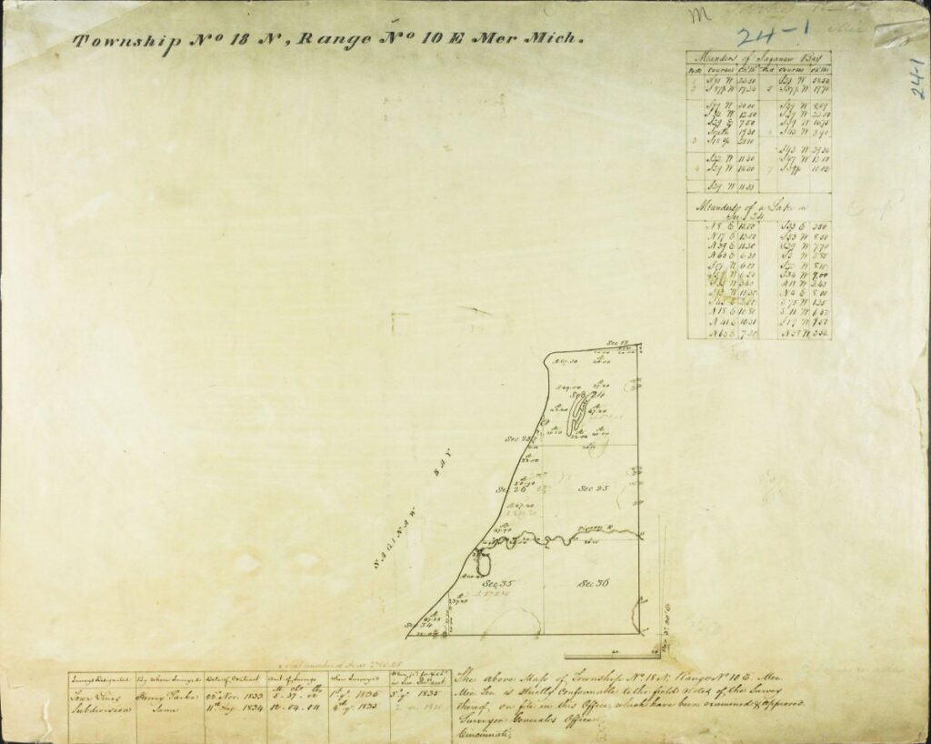
The federal surveys were about more than drawing boxes on a map. Surveyors recorded trees, waterways, soils and other natural features as they established township and section lines. Michigan later used those observations to create its Land Cover Circa 1800 database.
Despite the name, that database is not a literal map drawn in 1800. It is a modern reconstruction based on surveyors’ tree records and vegetation descriptions gathered mainly between 1816 and 1856. State documentation acknowledges that interpretation can introduce errors, but the records remain one of the best sources for understanding Michigan before widespread settlement.
Caseville Began With Sand, Wet Ground and the Pigeon River
At today’s Caseville, the Pigeon River provides the first major clue. Florence McKinnon Gwinn’s 1922 Pioneer History of Huron County describes a sandy ridge running along the Saginaw Bay shore, ranging from about 100 rods to several miles wide. The Pigeon River cut through that belt where Caseville developed.
The surrounding shore was generally low and sandy. Wet areas occurred behind or between sand ridges, while heavier soils and forests lay farther inland. Gwinn’s broader description of Huron County also refers to swamps, cedar and tamarack in wet areas and pine and hemlock on sandy ground.
The country was not empty. Gwinn’s account says hunter and trapper Reuben Dodge settled near the Pigeon River about 1836. For several years, his family’s closest neighbors were Indigenous people who camped in the area. She also recorded evidence of longtime maple-sugar activity near the river.
The federal survey therefore captured the area at a crucial moment — after centuries of Indigenous use but before sawmills and permanent Euro-American settlement dramatically changed the shore.
Lake Township Meant Pushing Into the Woods
Travel east from the Pigeon River and the terrain began to change. Behind the sandy lakefront, Lake Township contained heavier ground and thick woods. Later settlers repeatedly described how difficult it was to move through them.
Robert Gotts arrived in Lake Township in 1864, nearly three decades after Parke’s survey. He later recalled that his property was three miles from the nearest neighbor and that he spent several days cutting a trail through the woods just to reach it.

Crossing the Pigeon River could be worse. Before bridges, Gotts said settlers sometimes broke through winter ice and waded across or used rafts to move supplies.
His experience came after lumbermen had already begun entering Huron County. That makes the 1835 country even easier to imagine. There was no shoreline highway linking the communities because most of those communities did not yet exist. A traveler had to work around streams, wet ground, fallen timber and dense vegetation.
Lake Township provides perhaps the clearest contrast with the road corridor today. What can now be crossed quickly by car once required trails cut by hand.
Port Crescent Was the Great Break in the Shore
Then came the Pinnebog River.
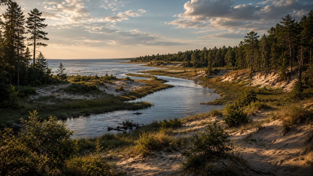
The river created one of the most distinctive breaks in the shore between Caseville and Port Austin. A later account preserved by Gwinn described the Pinnebog opening at Port Crescent as the primary opening along that stretch of Saginaw Bay shore.
The surrounding ground was unusual. Modern Michigan Department of Natural Resources studies at Port Crescent State Park document an extensive dune-and-swale system, with old beach ridges, wet depressions and dune fields on both sides of the Pinnebog River. The river itself still creates a broad, changing mouth where it reaches Saginaw Bay.
Those modern features should not be treated as a frozen picture of 1835. River channels move. Lake levels rise and fall. Wind alters dunes. But the surviving landforms help explain what the early records describe.
A traveler arriving at the Pinnebog would have encountered a natural river corridor, sand and wet lowlands. Move inland, however, and the country changed again.
Hume Township Held the Timber That Built Port Crescent
Gwinn described Hume Township as heavily timbered with pine, hemlock, cedar, beech and maple.

Away from the immediate bay shore, she described the soil as clay loam. The Pinnebog drained the township and later became a transportation route for logs headed to the sawmills at Port Crescent.
The pine became the prize. Gwinn wrote that an exceptionally fine body of pine once covered the township. By the second half of the 19th century, logging companies had begun cutting those trees and floating logs down the Pinnebog.
That relationship between river and forest helps explain why Port Crescent became a lumber town. The river was more than scenery. It connected the inland timber to Saginaw Bay. Within a few decades, sawmills, docks, lumber camps and houses occupied a place where the surveyors had encountered a very different setting.
Port Austin Began With Another Sandy Shore
Continuing east, the approach to Port Austin returned the traveler toward sandy shore country.

Parke and Enos had already surveyed Austin Township in 1834 and 1835, years before Port Austin became a recognizable village. Early settlement centered around Bird’s Creek, where water could power a mill and provide access to the lake.
The shoreline itself offered little indication of what would follow. Pioneer accounts describe the early settlement site as sandy and sparsely developed, while commercially valuable pine stood inland. Lumber operators soon built facilities to move that timber toward the lake.
The same pattern seen at Caseville and Port Crescent repeated itself: water determined where people could enter the country, while timber determined where industry followed.
Huron County History Still Shows Along M-25
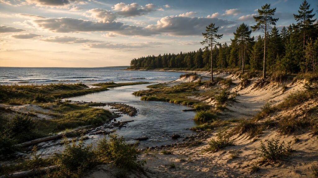
Logging changed northern Huron County first. Then came fire, agricultural clearing, drainage ditches, roads and farms. The great fires of 1871 and 1881 further altered forests already being cut heavily. By the late 19th century, land once measured by surveyors through trees and swamps was increasingly divided into farms and settlements.
The 20th century added paved roads, cottages and tourism. What remains today can make the earlier country difficult to picture. But pieces are still there. The best way to visualize this land in 1835 is to visit the Huron County Nature Center. The trails show a somewhat unspoiled example of this area.
The Pigeon River still breaks through the sandy shore at Caseville. Wooded sections of Lake Township hint at the forest that once made travel difficult. Port Crescent preserves dunes, wet swales, woods and the Pinnebog River. Bird’s Creek still reaches Lake Huron at Port Austin.
The road now ties those places together. In 1835, the water, sand, swamp and forest kept them apart.
And that may be the most important lesson preserved in the old survey records: the Thumb before M-25 was not one endless woodland. It was a changing strip of rivers, sandy ridges, wet ground and enormous forests — all compressed into the short drive between Caseville and Port Austin today.
Huron County History Sources
“18N 12E – Survey Map of Hume Township, Huron County [Michigan].” 1835. Surveyor Maps, 1816-1860, Archives of Michigan, Michigan Department of Natural Resources, Big Ten Academic Alliance Geoportal, https://geo.btaa.org/catalog/15ede30d-edf9-444d-b7bf-f296be3314ae. Accessed 31 Aug. 2026.
Enos, Jehiel, and Hervey Parke. “19N 12E – Survey Map of Austin Township, Huron County [Michigan].” 1835. Surveyor Maps, 1816-1860, Archives of Michigan, Michigan Department of Natural Resources, Big Ten Academic Alliance Geoportal, https://geo.btaa.org/catalog/6dfcd480-5b6f-421d-90fb-036bc745f652. Accessed 31 Aug. 2026.
Enos, Jehiel, and Hervey Parke. “19N 13E – Survey Map of Austin Township, Huron County [Michigan].” 1834. Surveyor Maps, 1816-1860, Archives of Michigan, Michigan Department of Natural Resources, Big Ten Academic Alliance Geoportal, https://geo.btaa.org/catalog/7d76bc13-adda-43b4-b676-7329225b1f3e. Accessed 31 Aug. 2026.
Gwinn, Florence McKinnon. Pioneer History of Huron County, Michigan. Huron County Pioneer and Historical Society, 1922. Michigan County Histories and Atlases, University of Michigan Library Digital Collections, https://quod.lib.umich.edu/m/micounty/BAD0931.0001.001. Accessed 31 Aug. 2026.
Lake Township. “History.” Lake Township, Huron County, Michigan, https://www.laketownship.net/home/history/. Accessed 31 Aug. 2026.
Michigan Department of Natural Resources. Port Crescent State Park Phase 1 General Management Plan. Parks and Recreation Division, 2011, https://www.michigan.gov/dnr/-/media/Project/Websites/dnr/Documents/PRD/MgtPlans-archive/PortCrescent_Phase1_GMP.pdf. Accessed 31 Aug. 2026.
Michigan Geographic Information. “Land Cover Circa 1800.” Michigan GIS Open Data / ArcGIS REST Services Directory, Michigan Department of Environment, Great Lakes, and Energy, https://www.mcgi.state.mi.us/maps/rest/services/EGLE/LandCoverType_1800/MapServer/0. Accessed 31 Aug. 2026.
Parke, Hervey. “18N 10E – Survey Map of Caseville Township, Huron County [Michigan].” 1835. Surveyor Maps, 1816-1860, Archives of Michigan, Michigan Department of Natural Resources, Big Ten Academic Alliance Geoportal, https://geo.btaa.org/catalog/ec33c97c-a074-4572-b933-f5a3d8045180. Accessed 31 Aug. 2026.
Parke, Hervey. “18N 11E – Survey Map of Lake Township, Huron County, Page 2 [Michigan].” 1835. Surveyor Maps, 1816-1860, Archives of Michigan, Michigan Department of Natural Resources, Big Ten Academic Alliance Geoportal, https://geo.btaa.org/catalog/199080b0-2748-4105-ac65-e4dec1d9cd9e. Accessed 31 Aug. 2026.