by
by 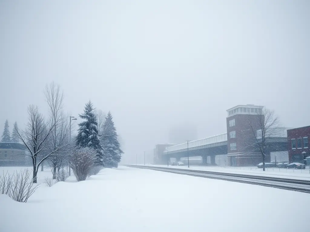
Snow showers, fog, and falling temperatures impact Michigan today. Stay updated with regional forecasts and prepare for changing conditions across the state.
Snow Showers and Temperature Drops Across Michigan
Michigan residents should prepare for snow showers and a drop in temperatures today, with varying conditions across the state’s regions.
Southeast Michigan Forecast
Detroit — Issued by the National Weather Service at 12:57 PM EST on December 16, 2024.

Snow Showers and Breezy Conditions Expected Today
Residents in Southeast Michigan can expect periods of wet snow this morning, transitioning to breezy conditions with occasional flurries in the afternoon.
- High Temperature: Around 39°F (4°C)
- Low Temperature: Dropping to 29°F (-2°C)
The National Weather Service advises that temperatures will trend downward through the week, with chances of snow early Wednesday and again Thursday night into Friday.
Southwest Michigan Forecast
Grand Rapids — Issued by the National Weather Service at 3:20 AM EST on December 16, 2024.
Light Snow Expected Midweek
Southwest Michigan will experience cloudy and damp conditions today, with light snow expected to develop Wednesday and continue into Thursday night and Friday.
- High Temperature Today: Mid-30s°F (1-2°C)
- Snow Accumulation: 1-3 cm possible by Friday
Residents should prepare for slippery road conditions during the evening commute on Thursday.
Northern Lower Michigan Forecast
Traverse City — Issued by the National Weather Service at 2:31 AM EST on December 16, 2024.
Fog and Light Rain Today, Snow Chances Midweek
Northern Lower Michigan will see fog with pockets of significantly reduced visibility today, along with light rain chances from mid-morning through the afternoon.
- High Temperature Today: Mid-30s°F (1-2°C)
- Snow Chances: Return midweek with cooler temperatures
Motorists are advised to exercise caution due to potential fog and reduced visibility.
Upper Peninsula Forecast
Marquette — Issued by the National Weather Service at 11:29 PM EST on December 15, 2024.

Dense Fog Advisory and Light Lake Effect Snow
A Dense Fog Advisory is in effect until 10 AM EST Monday for the central Upper Peninsula. Light lake effect snow is possible over the west to northwest wind snow belts Monday night through Tuesday night.
- High Temperature Today: Mid-30s°F (1-2°C)
- Snow Accumulation: Light amounts expected
Westerly gales to 35-40 knots over Lake Superior are expected Monday night into Tuesday, with some gusts up to 45 knots possible.
Hazardous Weather Changes Fast – Stay Updated
<figure class=”wp-block-image alignleft size-full is-resized”><img src=”https://thumbwind.com/wp-content/uploads/2024/12/generate-a-photo-realistic-collage-image-of-michigans-varied-winter-weather-2.png” alt=”Michigan Weekend Forecast ” class=”wp-image-51853″ style=”width:200px”/></figure>
Weather Watches, Warnings, and Advisories are frequently updated by the National Weather Service. Please look for updates to this report from the National Weather Service, or your local news channels and NOAA All Hazards radio. Please follow ThumbWind Publications for more local weather and news updates. Your helpful comments are welcome.
Check Out Our Weather Related Features
- Climate Twins – Countries with Weather Similar to Michigan: Curious about which places on Earth share Michigan’s unique weather patterns? Our latest article dives into Michigan’s Climate Twins, revealing surprising similarities and intriguing differences.
- Live Webcams Of 7 Lake Effect Snow Cities Around The Great Lakes: Delve into the enchanting world of Lake Effect Snow in cities within the snow belt. Experience how urban landscapes transform into winter wonderlands with heavy snowfall.
- 14 Areas Around the Great Lakes With Significant Lake Effect Snow – How Does it Happen: Lake effect snow from the Great Lakes occurs when conditions of evaporation and cold upper air currents slide over the region. Water retains heat more than air, causing open water in the Great Lakes to evaporate into the air and warm it. Rising into the atmosphere, this warm, wet air cools as it travels, creating significant snowfall.**
Your Turn – Like This, or Hate it – We Want To Hear From You
Please offer an insightful and thoughtful comment. Idiotic, profane, or threatening comments are eliminated without remorse. Consider sharing this story. Follow us to have other feature stories fill up your Newsbreak feed from ThumbWind Publications.