by
by 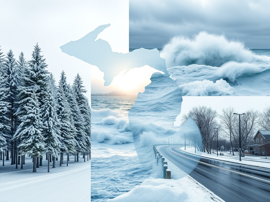
Prepare for a mix of winter conditions across Michigan with varying weather trends by region. Mild rain in the south, snow in the north, and mixed conditions in Michigan’s Upper Peninsula today, December 10. Stay updated for fast-changing forecasts.
Southeast Michigan: Rainy Morning Turning Breezy
DETROIT — Issued by the National Weather Service at 6:00 AM on December 10.

- Morning rain showers dominate, with accumulations around 0.5 inches possible.
- Afternoon clearing, but expect gusty 20–30 mph winds.
By evening, temperatures will dip into the mid-30s, creating potential slick spots on bridges and overpasses. Highs will reach the upper 40s by midday before dropping sharply.
Southwest Michigan: Cloudy Skies and Light Snow Showers
GRAND RAPIDS — Issued by the National Weather Service at 6:30 AM on December 10.
Morning overcast skies give way to light lake-effect snow in the afternoon. Accumulations are expected to remain minimal at less than 1 inch.
- Highs hover near 34°F, with breezy northwest winds of 10–20 mph.
- A cooler evening brings lows into the upper 20s, with scattered snow continuing.
Northern Lower Michigan: Snow Squalls Possible
GAYLORD — Issued by the National Weather Service at 6:45 AM on December 10.
Snow showers and squalls will be scattered throughout the day, leading to localized accumulations of 2–4 inches in parts of Traverse City and inland areas.
- Highs near 28°F, with brisk northwest winds reaching 15–25 mph.
- Visibility could drop significantly during snow bursts.
Upper Peninsula of Michigan: Snow Accumulation and Bitter Winds
MARQUETTE — Issued by the National Weather Service at 7:00 AM on December 10.

Steady snow showers will bring totals of 3–6 inches across higher elevations and north-facing slopes. Coastal areas near Lake Superior may see additional snow due to lake-effect activity.
- Highs around 22°F, with wind chills dipping below 10°F in the afternoon.
- Winds will be 15–30 mph, potentially creating blowing and drifting snow on highways.
Check Out Our Weather-Related Features
- 4 Live Venice Florida Webcams, Latest Venice News & Weather Updates
- Great Lakes Ice Coverage
- 14 Areas Around the Great Lakes With Significant Lake Effect Snow – How Does it Happen
Your Turn
Weather Watches, Warnings, and Advisories are frequently updated by the NWS. Please look for updates to this report from the National Weather Service, your local news channels, and NOAA All Hazards radio.
Follow ThumbWind Publications for more local weather and news updates. Your helpful comments are welcome.