by
by 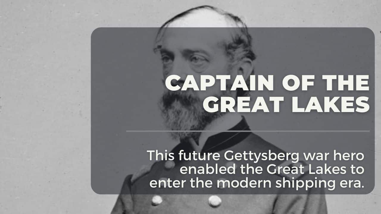
In the mid-1800s, much of Michigan was wilderness. While many settlements were established on the shore, few government maps and almost no official documentation of water depth and shore topology were established. Local knowledge from “fisherman and coastal” was depended on. As growth in the upper Great Lakes commenced, calls were made by steamship companies to the U.S. government to offer official maps and depth charts. By the 1840s, the US Army was tasked with conducting the first accurate Lake Huron survey from the St. Mary’s River to the St. Clair River in the south. This was a critical assignment for future general George Meade.
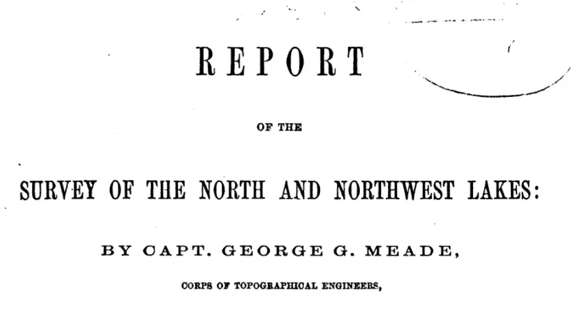
George Meade Engineer of the Lakes
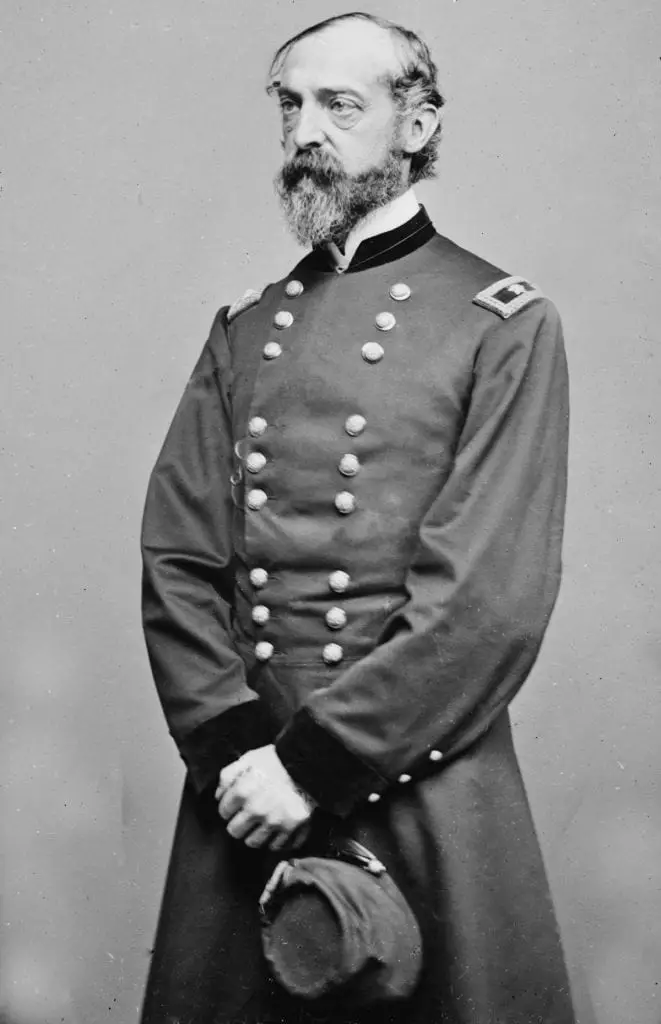
In 1857, Captain George Meade relieved Lt. Col. James Kearney on the Lakes Survey mission of the Great Lakes. Meade had already established successful building lighthouses and mapped the shoals and reefs from the Jersey shore to the Florida Keys. In Florida, the shallow reefs ravaged shipping since the Spanish plied the Caribbean in the 1500s.
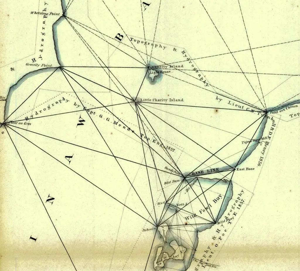
George Meade came to Michigan in 1857 to make the first survey of Saginaw Bay and Lake Huron. As a civil engineer of the US Army, he “leveled the baseline” at Sand Point. The method was to use a series of triangulated line-of-site towers based on an angle that could be accurately measured from point to point. All the measurements on Saginaw Bay and Lake Huron were based on the baseline established on the length of Sand Point
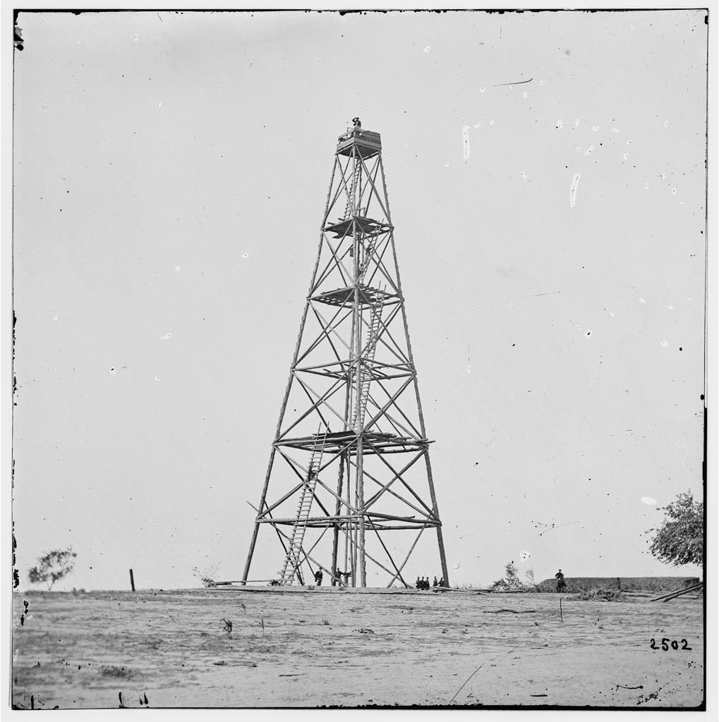
170 Foot Towers Loomed Over Saginaw Bay
The line-of-sight signaling towers erected on Charity Island, Oak Point, Sand Point, Tawas Point, Pointe Aux Barques, Forestville, and others assisted in the survey measurement. These towers were measured from 82 to 169 feet above the water level and were considered the highest artificial structures ever made for triangulation measurement in the United States. A survey instrument did measurement called a theodolite, capturing the flashing mirror of a distant tower.
Sand Point was Made the Center of the Lake Huron
Captain Meade needed a Prime Meridian point. He established this at a base camp located on Sand Point. The jut of land extended out into Saginaw Bay, offering a large line of site vantage point. Meade cleared an area and placed a marker while surveying to denote the new Prime Meridian line for Saginaw Bay and all of Lake Huron.
From the United States Land Survey Station, Sand Point, Saginaw Bay, all “geodetic positions of all points of triangulation” were calculated. There is a record of Latitude and Longitude observations and calculations made from Sand Point from July 2 through October 9th, 1857. They calculated the longitude position of Sand Point Station Latitude at 43° 54’ 39” 79 N, Longitude 5h, 33m 22s.976 west of Greenwich at (computed at 83° 20’ 44” .64 ) [ Note that the original longitude convention was added. Page 1266 “Message of the President of the United States Communicated to the Two Houses of Congress,” 1858]
Completing the survey of Lake Huron and the extension of Lake Michigan’s surveys down to Grand and Little Traverse Bays were done under his command. Before Captain Meade’s command, Great Lakes’ water level readings were taken locally with temporary gauges; a uniform plane of reference had not been established. In 1858, based on his recommendation, instrumentation was set in place to tabulate records across the basin. In 1860, the first detailed report of Great Lakes was published.
Civil War Interrupts Progress
In 1861 war was declared between the North and the South. Washington DC sent notice calling Captain Meade into active service as a brigadier general. His orders were delivered to Detroit as Meade was making preparations to return to Washington DC to take over a new Topographic group authorized by Congress. Local lore tells that notice of his assignment was delivered to the Sand Point Station from Port Austin. This was due to no Post Office in Caseville.
Meades Engineering Advancements
Captain Meade fulfilled these orders by completing the surveying all of Lake Huron, Saginaw Bay, and upper Lake Michigan down to Grand and Little Traverse Bays. In true engineering fashion, he also modified a method to determine longitudes by electric telegraphy
Another feat was to recommend that standardized instruments be set across the Great Lakes basin to measure water levels. Besides, Meade established 19 weather stations on five of the Great Lakes and set up a system of analyzing data obtained from the weather instruments to predict storms to warn mariners. He also developed a system for denoting wind force and direct observations.
Before he left the Great Lakes for the war, George Meade urged Congress to fund further survey work on Lake Michigan and Superior, noting that the waterways’ economic growth and safety could be achieved. General George Meade won the Battle of Gettysburg in 1863, which he was considered the hero in the turning point of the war.
Related Links and Reading of General George Meade
- Ora Labora Colony and Final Days of the Civil War – The Spring of 1866 did not bring warmth to the Colony so desperately needed. The war had ended. Men had returned. However, the battle-hardened veterans were not standing by the Colony’s founder and the community was deep in debt and morale was low.
- Port Crescent – A Ghost Town – Port Crescent State Park is one of the largest state parks in southern Michigan. Located at the tip of Michigan’s “thumb” along three miles of sandy shoreline of Lake Huron Saginaw Bay. However, a little-known aspect of this park is that it sits on the location of a ghost town.
- Shore Indian Trail – Hull’s Trace – The Shore Indian trail was one of the five major routes of land travel leading out of Detroit. It was one of the best known to the early settlers. The trail begins from the rapids of the Maumee River to Toledo, then closely along the shore through Monroe and Brownstown to Detroit. From Detroit, it continues northward along the Detroit and St. Claire Rivers, past Fort. Joseph, (Fort Gratiot), and into the Thumb.
- Buried Gold on the Beach of the Upper Thumb – There is a tale in some of the historic newspaper papers of Michigan’s Upper Thumb that speaks of Indian gold and a hermit who owned a bit of land around what was called Loosemore point.