by
by 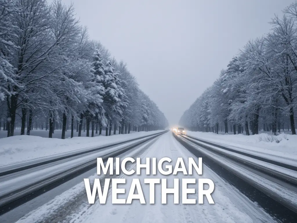
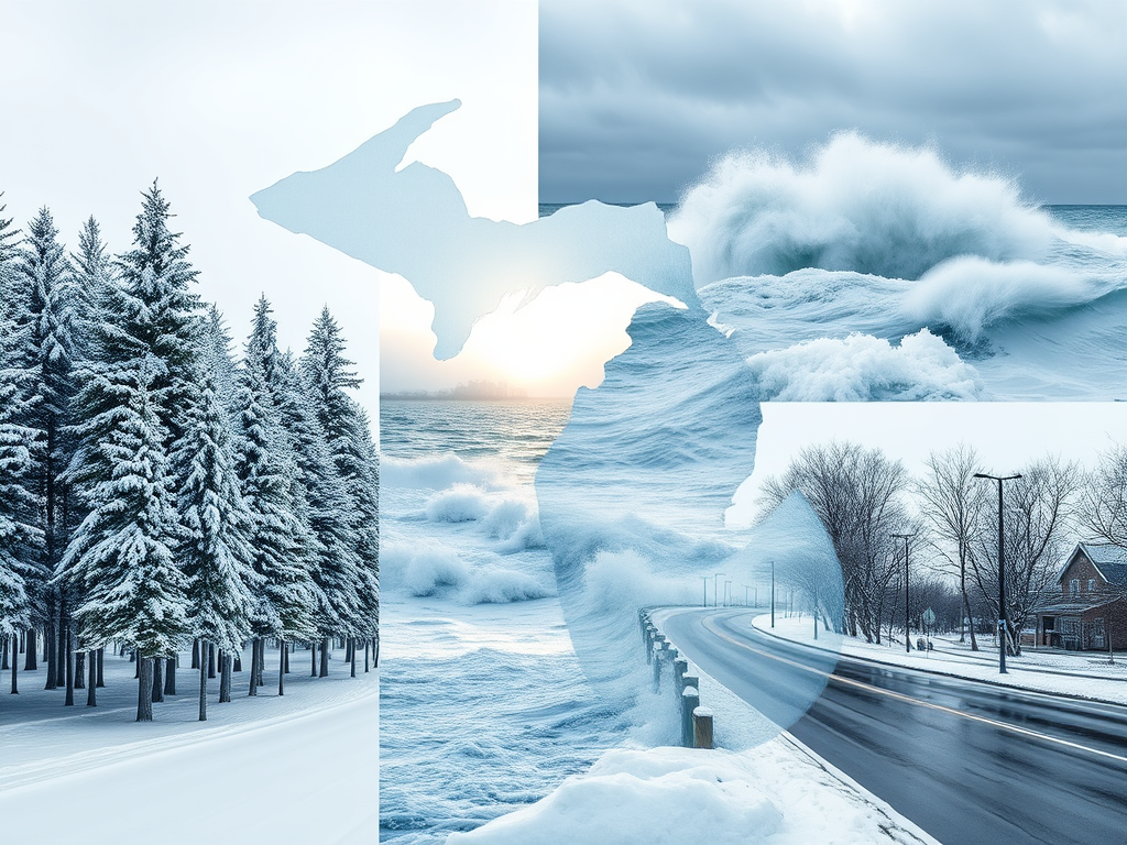
Snow showers and cold temperatures expected across Michigan today.
Statewide Forecast Overview
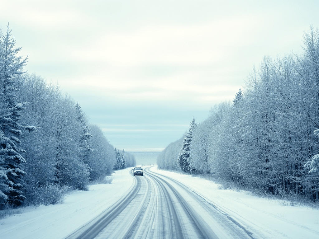
Michigan residents should prepare for snow showers and cold temperatures today, with varying conditions across the state’s regions.
Southeast Michigan: Snow Showers and Cloudy Skies
DETROIT — Issued by the National Weather Service at 3:00 AM EST on January 11, 2025.

Residents in Southeast Michigan can expect light snow showers throughout the day, with accumulations less than 1 inch. High temperatures will be in the low 30s°F (-1°C to 1°C), with lows in the mid-20s°F (-4°C to -3°C). No significant snowfall is expected over the next several days.
Southwest Michigan: Rain Today with Low Chance of Wet Snow
GRAND RAPIDS — Issued by the National Weather Service at 3:01 AM EST on January 11, 2025.
In Southwest Michigan, expect rain today with a low chance of wet snow in the northern areas this evening. Highs will be in the mid-30s°F (1°C to 2°C), with lows in the mid-20s°F (-4°C to -3°C). Light rain and snow mix is expected on Tuesday, remaining south of I-96.
Northern Lower Michigan: Rain/Snow Mix Returning
GAYLORD — Issued by the National Weather Service at 4:03 AM EST on January 11, 2025.
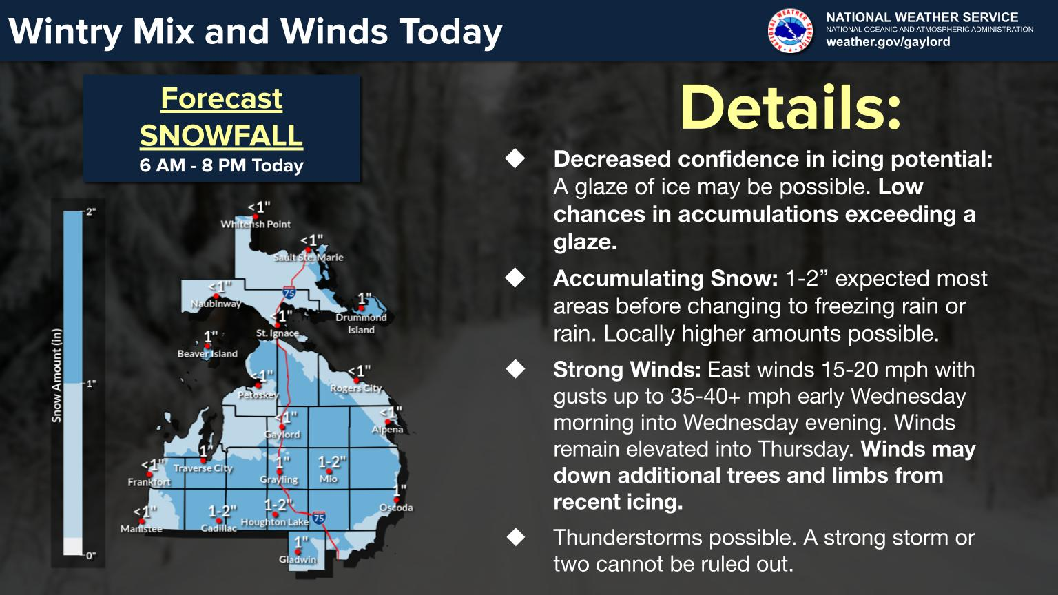
Northern Lower Michigan will see a rain/snow mix returning this afternoon into Monday, with wet snow accumulations up to 2 inches expected across interior areas. Localized higher amounts between 2-4 inches are possible. Highs will be in the low 30s°F (-1°C to 1°C), with lows in the mid-20s°F (-4°C to -3°C).
Upper Peninsula of Michigan: Snow Accumulations and Cold Temperatures
MARQUETTE — Issued by the National Weather Service at 4:45 AM EST on January 11, 2025.

Upper Peninsula residents should brace for light to moderate snow accumulations today, especially near the Lake Superior shoreline. Accumulations of 2–4 inches are expected in some areas, with higher amounts in localized spots. High temperatures will hover around 25°F (-4°C), with lows dropping into the teens°F (-9°C to -7°C).
Snowfall will continue into Monday morning, tapering off later in the day. Winds from the northwest may lead to drifting and reduced visibility, particularly in open areas. Travel conditions could be challenging, so plan accordingly.
Hazardous Weather Changes Fast – Stay Updated
Weather Watches, Warnings, and Advisories are frequently updated by the National Weather Service. Please look for updates to this report from your local news channels and NOAA All Hazards radio. For more regional news, follow ThumbWind Publications.
Check Out Our Weather Related Features
- Climate Twins – Countries with Weather Similar to Michigan
Curious about which places on Earth share Michigan’s unique weather patterns? Our latest article dives into Michigan’s Climate Twins, revealing surprising similarities and intriguing differences. - Live Webcams Of 7 Lake Effect Snow Cities Around The Great Lakes
Delve into the enchanting world of Lake Effect Snow in cities within the snow belt. Experience how urban landscapes transform into winter wonderlands with heavy snowfall. - 14 Areas Around the Great Lakes With Significant Lake Effect Snow – How Does it Happen
Lake effect snow from the Great Lakes occurs when conditions of evaporation and cold upper air currents slide over the region. Discover the science behind the phenomenon.
Your Turn – Like This, or Hate it – We Want To Hear From You
Please offer an insightful and thoughtful comment. Idiotic, profane, or threatening comments are eliminated without remorse. Consider sharing this story. Follow us to have other feature stories fill up your Newsbreak feed from ThumbWind Publications.
Discover more from Thumbwind
Subscribe to get the latest posts sent to your email.