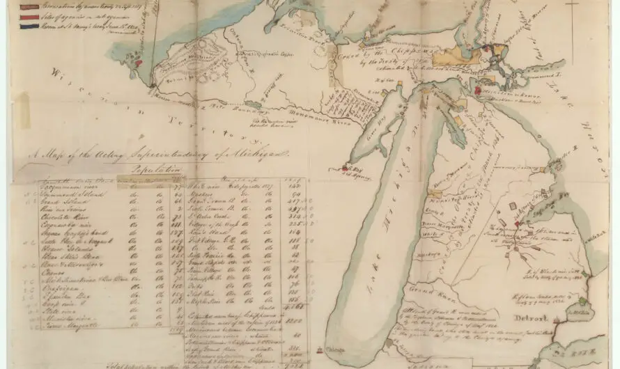
Exploring the 1837 Michigan Map “Acting Superintendency of Michigan”
In September 1837, Henry Rowe Schoolcraft created a manuscript map of Michigan illustrating Indigenous nations, U.S. Indian agency posts, military forts, and reservations. It reflects the aftermath of the 1836 treaty, detailing tribal bands, populations, and significant geographic changes.

