


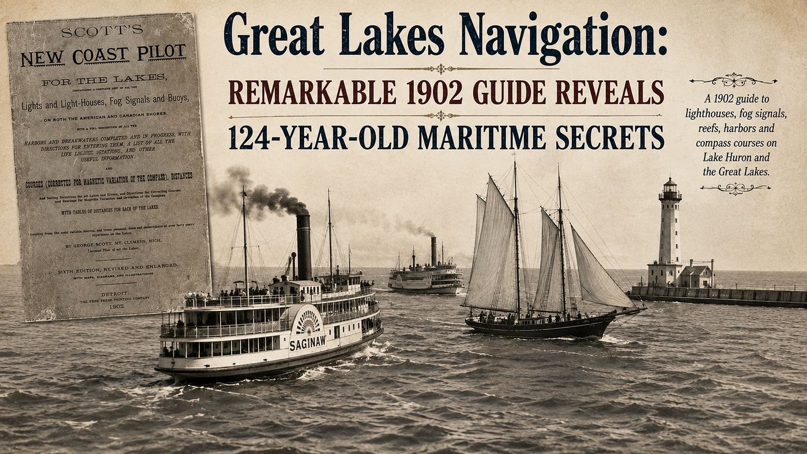
Great Lakes Navigation: Remarkable 1902 Guide Reveals 124-Year-Old Maritime Secrets
A newly digitized 1902 guide shows how Great Lakes captains used lights, fog signals, compass bearings and printed directions to avoid reefs and reach harbor.
BEAVER ISLAND, Mich. — Long before radar, GPS or electronic charts, Great Lakes Navigation depended on a compass, lighthouse signals, printed charts and a captain who knew exactly where danger waited beneath the water.
A newly accessible book from the Beaver Island Archive shows just how much information those mariners carried with them.

The archive recently added a complete digital copy of the sixth edition of “Scott’s New Coast Pilot for the Lakes,” a 393-page guide published in Detroit in 1902. The book contains lighthouse descriptions, fog signals, buoys, life-saving stations, compass courses and detailed sailing instructions covering American and Canadian waters.
The Beaver Island Archive added the volume on July 28 and updated the online record on Aug. 9. The archive says it knows of no other publicly available copy of this particular digital file.
Great Lakes Navigation Before GPS
The book was compiled by George Scott of Mount Clemens, who described himself as a licensed pilot for all the Great Lakes.
Scott said the book drew from reliable sources and more than 40 years of observations on the lakes. The 1902 edition included maps, diagrams, and illustrations and was printed by the Free Press Printing Co. in Detroit.
The 1902 Coast Pilot offered more than a chart.
A chart could show a reef or lighthouse. Scott told captains what course to follow, how a light would appear from the water, and where dangerous shoals waited along the route.
Directions also accounted for magnetic variation in a ship’s compass.
A few degrees of error could send a vessel toward shallow water, rocky shoreline or an unseen reef.
Beaver Island Shows How Detailed the Guide Became
The sections covering Beaver Island illustrate how sailors used the Maritime Navigation Guide.
Scott provided directions for entering what is now Saint James Harbor. He advised vessels to give the light a 200-yard berth and identified areas where ships could safely anchor near the docks.
Nearby hazards received blunt warnings.
Scott described Gull Island Reef as a dangerous shoal with only about 5 feet of water over parts of it.
Lighthouse descriptions were equally precise.
At the island then known as Squaw Island and now officially called Ojibwa Island, Scott recorded a 48-foot red brick lighthouse. Its fixed red light was interrupted by a red flash every 15 seconds and could be seen from about 15 miles away.
A steam whistle provided another warning when fog obscured the light.
Scott also described the light at Isle aux Galets, known to mariners as Skillagalee, between Beaver Island and Michigan’s Lower Peninsula. Its white light and steam whistle helped vessels navigate one of northern Lake Michigan’s heavily traveled routes.
Great Lakes Navigation Depended on Human Observation
The book captures a period when Great Lakes Navigation relied heavily on what sailors could see and hear.
Captains watched the color and flashing pattern of lighthouse beams.
They listened for fog whistles.
They calculated bearings, estimated distances and adjusted compass courses while trying to determine exactly where their ship was in relation to land and underwater hazards.
The work required constant attention.
One incorrect bearing or missed lighthouse could put a vessel dangerously close to a reef.
Scott’s guide attempted to place much of that knowledge into a single reference book.
Great Lakes History Hidden in Sailing Directions
The guide covers much more than Beaver Island.
Its sailing instructions extend across Lake Michigan, Lake Huron and the other Great Lakes, along with connecting rivers and channels.
That makes the volume valuable for Great Lakes History researchers interested in commercial shipping, lighthouses, ports and shipwrecks.
The instructions can also be compared with historical nautical charts.
The Beaver Island Archive holds a substantial collection of navigational materials, including old maps and nautical charts of the Beaver Island archipelago.
Together, the charts and Coast Pilot can help researchers reconstruct how a captain might have approached a particular harbor or navigated past a dangerous stretch of water more than a century ago.
Digital Archive Preserves a Working Mariner’s Tool
The Beaver Island Archive operates as both a digital primary-source collection and an online reference library for Beaver Island and the surrounding islands.
Its holdings include newspapers, photographs, maps, government records, books, charts and audio material.
Digitizing the Coast Pilot adds another working document from the age of steamships, schooners and lighthouse keepers.
It also preserves something that conventional histories sometimes miss.
Official records can tell researchers when a lighthouse was built or where a ship wrecked. A navigation guide shows what captains were expected to know before they ever reached that lighthouse or reef.
Great Lakes Navigation Returns to the Pilot House
The value of Scott’s book lies in its practical detail.
It shows Great Lakes Navigation from the perspective of the people responsible for bringing ships safely from one harbor to another.
Those captains had no digital display telling them their exact location.
They had charts, compass bearings, whistles in the fog and lights blinking across dark water.
And sometimes they had George Scott’s book open nearby.
More than 120 years later, that guide is available again — this time not in a Great Lakes pilot house, but on a computer screen.

