


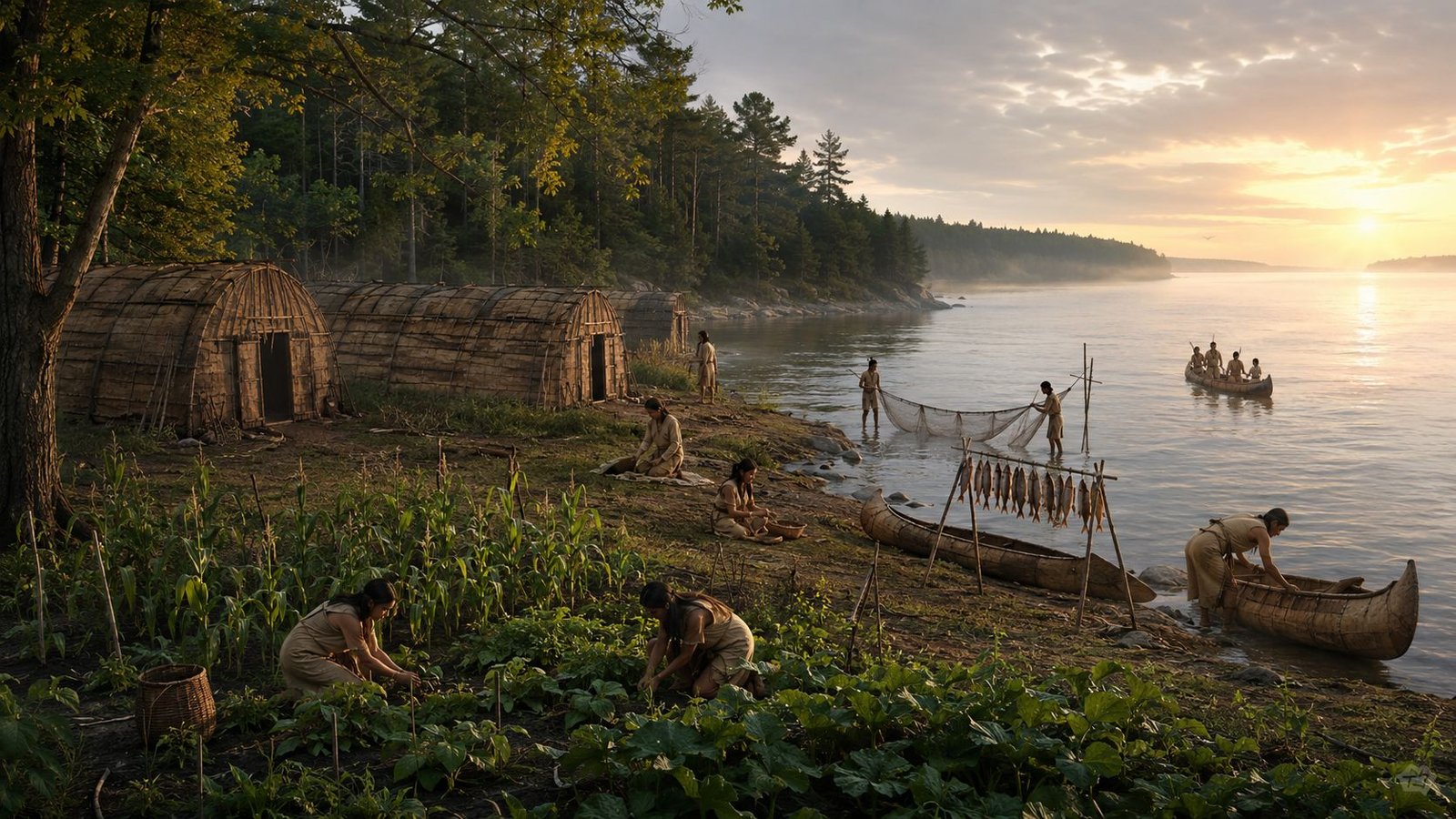
Before Michigan Had Towns: 10 Indigenous Villages, Fish Camps and Farm Earthworks
Michigan history often begins its local timelines with a familiar phrase: the first settlers arrived in a certain year.
That shorthand leaves out a much older Michigan.
Long before Detroit, Niles, Sault Ste. Marie or Mackinac appeared on American maps, Native communities had already organized life around Michigan’s rivers, bays, islands, portages and fertile ground. Some places held substantial villages. Others filled with families when fish were running, maple sap was flowing, or crops needed tending. Certain locations were used repeatedly for centuries, even when no one lived there through every winter.
That difference matters. A seasonal settlement was not an accidental campsite. It could be a known destination with food-processing areas, storage, gardens, family ties, and well-used travel routes. In some cases, hundreds of people could gather at the right season and then divide into smaller family groups for winter hunting.
The surviving evidence comes from several directions: Native oral histories and tribal cultural programs, treaties, early written accounts, and archaeology. Each has limits. Taken together, they show that pre-statehood Indigenous settlements in Michigan were not in an empty forest waiting for towns. It was a well-used homeland with many kinds of communities.
Table of Contents
A settlement did not have to look like a European town

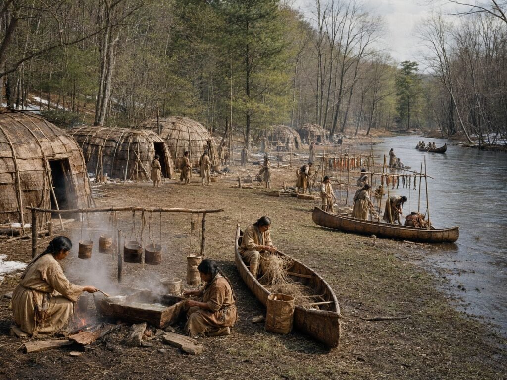
The word “settlement” can create the wrong picture if it is limited to rows of permanent houses. Anishinaabe communities often moved through a planned annual cycle. Spring might bring maple sugaring and spawning fish. Summer favored larger gatherings, fishing, and gardening. Late summer and fall brought harvests. Families could then separate into smaller winter hunting groups.
The Sault Ste. Marie Tribe of Chippewa Indians describes this pattern in its own history. Its ancestors had settlements across the upper Great Lakes and St. Mary’s River system, gathered during summers at Bahweting, present-day Sault Ste. Marie, and broke into family units for winter. The tribe describes hunting, fishing, gathering and preserving food as parts of that system. Sault Tribe history
The Saginaw Chippewa Indian Tribe’s Ziibiwing Center likewise teaches that Anishinabek families harvested manoomin, or wild rice, and worked sugarbushes as winter gave way to spring. Ziibiwing Center cultural teachings
Seen this way, Michigan was connected by a web of recurring places rather than divided into a simple choice between “village” and “camp.”
Map – Major Indigenous settlements across Michigan
30 documented villages, seasonal camps, treaty-named communities, work areas and cultural places.

Waganakising: The Odawa communities of L’Arbre Croche
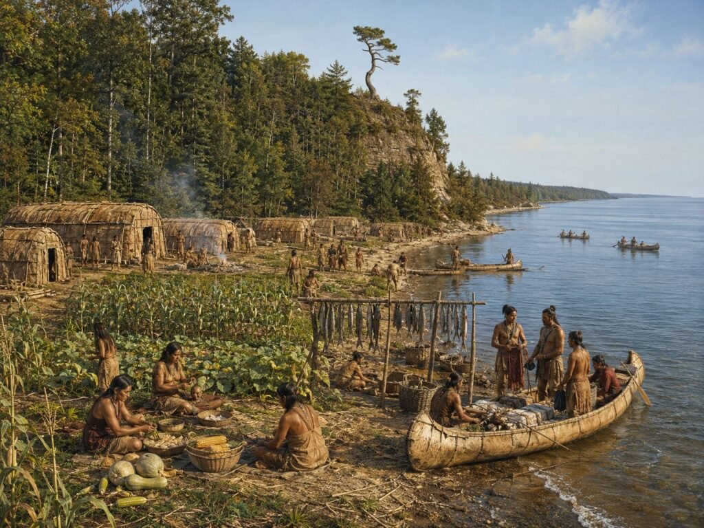
One of the clearest examples is Waganakising, the Odawa homeland along the Lake Michigan shore between the Harbor Springs and Cross Village area. French records called the region L’Arbre Croche, or “the Crooked Tree.” Older English-language accounts sometimes render the name in other forms, including Arbor Croche.
This was not one compact town. It was a chain of Odawa communities stretching along miles of shoreline. Wilbert B. Hinsdale’s 1931 Archaeological Atlas of Michigan noted that the Lake Michigan shore in Emmet County had a village every few miles in early historic times. University of Michigan digital atlas
Waganakising also overturns the idea that northern Great Lakes communities depended only on hunting. Historical and linguistic research describes Odawa life there as combining agriculture, fishing, hunting, trade and seasonal movement. A McGill University study of an 18th-century Odawa-French dictionary specifically examines Waganakising terms connected with agriculture, hunting and mobility after the community shifted to the L’Arbre Croche region around 1741. McGill University research
Its location made sense. Lake Michigan supplied fish and an efficient travel route. Nearby ground supported gardens. Mackinac linked the Odawa to a major Great Lakes commercial center. Food, furs, canoes and other goods moved through that economy.
Waganakising was therefore both a home and a regional economic center. Families could leave for winter hunting without making the shoreline villages any less permanent in social or political importance.
Bahweting: A city at the rapids before there was a city
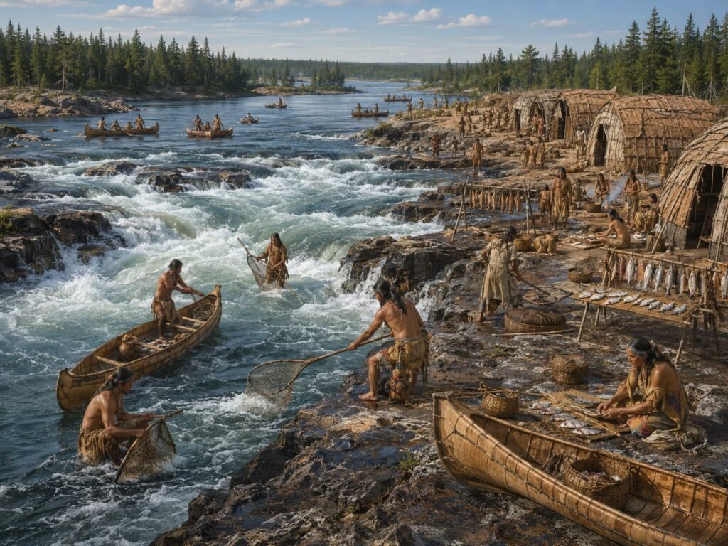
At the outlet of Lake Superior, the rapids of the St. Mary’s River created one of the Great Lakes’ great fishing places. The Anishinaabe name Bahweting is associated with the rapids at today’s Sault Ste. Marie.
The Sault Tribe says its ancestors were fishing peoples whose settlements dotted Lakes Superior, Michigan and Huron, the St. Mary’s River system and the Straits of Mackinac. Summer gatherings at Bahweting could bring together people who spent other parts of the year in smaller groups. Sault Tribe account
That makes Sault Ste. Marie’s familiar claim to great age more complicated in a useful way. The French mission and trading settlement dates to the 17th century, but the location was important because Native people already knew the rapids as a productive gathering place.
Point Au Gres: The spring sturgeon station on Saginaw Bay
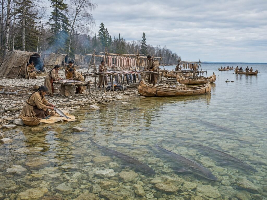
Saginaw Bay offers a different kind of settlement history. Point Au Gres, near the mouth of the Au Gres River, became a recurring spring food-production site tied to lake sturgeon.
Ephraim S. Williams, who came to Michigan Territory in the 1820s, later recalled Native people from Saginaw and the interior gathering in large parties on Saginaw Bay each spring to prepare dried sturgeon. His reminiscence described Point Au Gres as a favored place where fish came into shallow water and could be processed and dried on racks. Williams wrote decades after the events, and his descriptions reflect the attitudes of a 19th-century non-Native observer, so details deserve caution. His account is nevertheless unusually specific about the annual fishery. The Clarke Historical Library catalogs his “Personal Reminiscences” in the Michigan Pioneer and Historical Collections, volume 8, pages 662-667.
There is independent documentary evidence that Point Au Gres mattered. The 1819 Treaty with the Chippewa, signed at Saginaw, reserved 2,000 acres at the mouth of the “Point Augrais” River. The same treaty named other villages and Native-use places on the Flint, Shiawassee, Tittabawassee, and Saginaw river systems. 1819 treaty transcript. The Ziibiwing Center of Anishinabe Culture & Lifeways also preserves a scanned government copy in its treaty collection. Ziibiwing treaty record
The treaty and Williams’ account do not prove that Point Au Gres was occupied every month of every year. They show something more interesting: a seasonal fishery could be important enough to appear in both memory and federal land negotiations.
The Saginaw Valley was a network of named communities
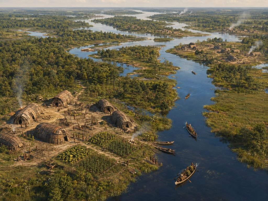
The 1819 treaty is almost a map in prose. Among the reservations it described were tracts at an “Indian village” on the Kawkawling River, Reaum’s village on the Flint River, the village of Otusson, Menoequet’s village on the Huron River, Black Bird’s town on the Tittabawassee, and several other named places. Treaty text
Those entries make it hard to portray the Saginaw Valley as sparsely used ground. Rivers were transportation corridors, food sources, and anchors for community life. The treaty also preserved, for a time, rights to hunt and make maple sugar on ceded lands. Its language shows that the American negotiators knew they were dealing with a region already organized around Native places and uses.
Archaeology adds a much longer time depth. Michigan State University researchers recently reviewed roughly two millennia of evidence for maize use in the Saginaw River drainage. Their work found that corn was an important local crop by the era of European contact and identified separate areas associated with maize storage and processing, with some locations possibly tied to cultivation. Michigan State University research summary
Bad Axe: An earthwork or an Indigenous farm?
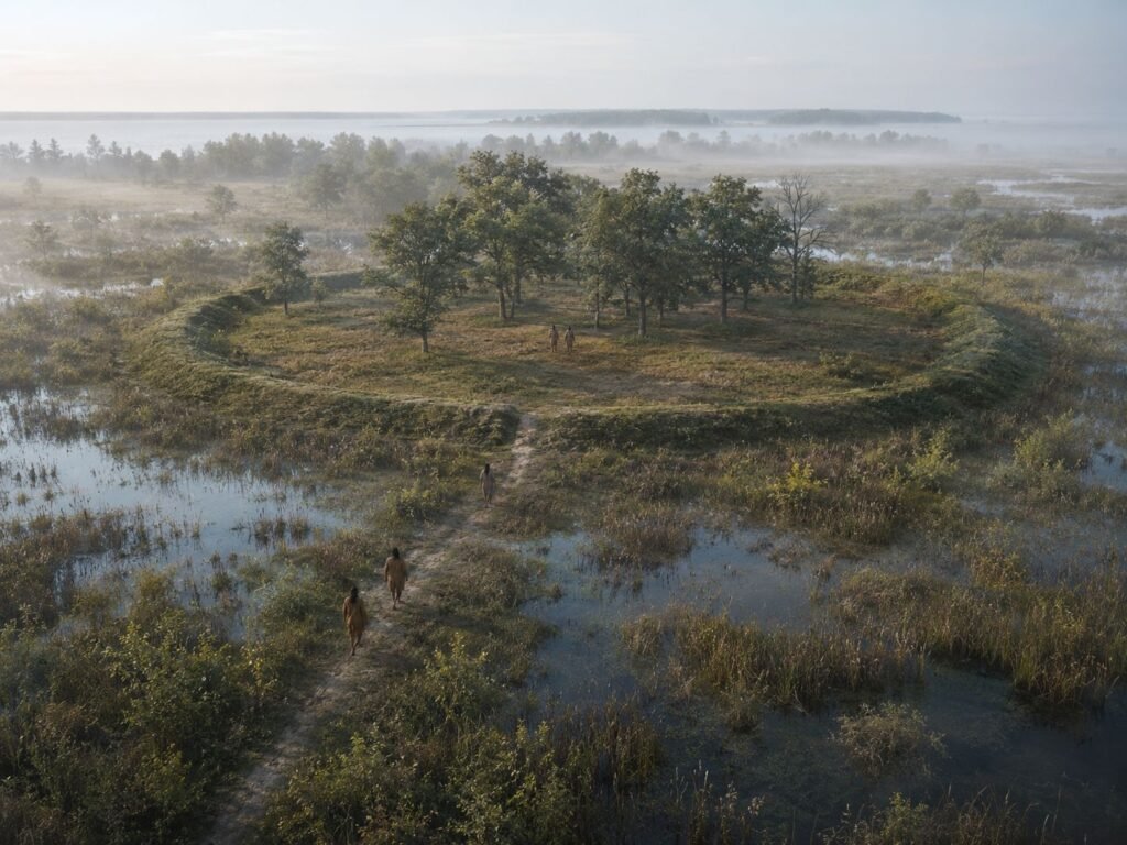
This is where the evidence needs a firm line between reported fact and later interpretation.
Historic archaeological sources did report a circular mound or earthwork at Bad Axe, on elevated dry ground surrounded by wet ground. A later local theory identified that enclosure as a Native garden or protected farming area. But the surviving early description establishes an earthwork; it does not, by itself, establish that the feature was used to grow crops.
So the safest statement is this: there is documented evidence of an Indigenous-associated earthwork at Bad Axe, but its identification as a farm or garden remains uncertain.
That caution should not be mistaken for doubt about Native farming in Michigan. Evidence for agriculture elsewhere is strong. The Saginaw drainage has a long record of maize use, Waganakising supported Odawa gardening, and a major 2025 study documented an unexpectedly large ancestral Menominee raised-field system in the western Upper Peninsula.
At the Sixty Islands site along the Menominee River, Dartmouth-led researchers surveyed about 330 acres and found raised fields that were repeatedly built and worked from around A.D. 1000 into the 1600s. The team reported corn, beans, squash and other crops and said the full field system extends beyond the area surveyed. The work was done in partnership with the Menominee Indian Tribe of Wisconsin. Dartmouth research summary
The lesson for Bad Axe is not that every circular feature must have been a garden. It is that agriculture in pre-statehood Michigan was far more substantial than an old stereotype of a purely hunting economy suggests.
Detroit River and Springwells
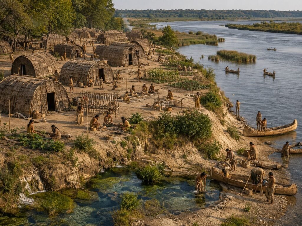
At today’s Fort Wayne in Detroit, archaeological and historical evidence points to long Native use of the river bluff and springs. The National Park Service says the Springwells area had long-term Indigenous settlement and burial use from the Woodland period into the early 1800s. By about 1710, a substantial Potawatomi village stood at the site. The Detroit River supplied fish, marsh resources and a major transportation corridor. National Park Service history
Grand River
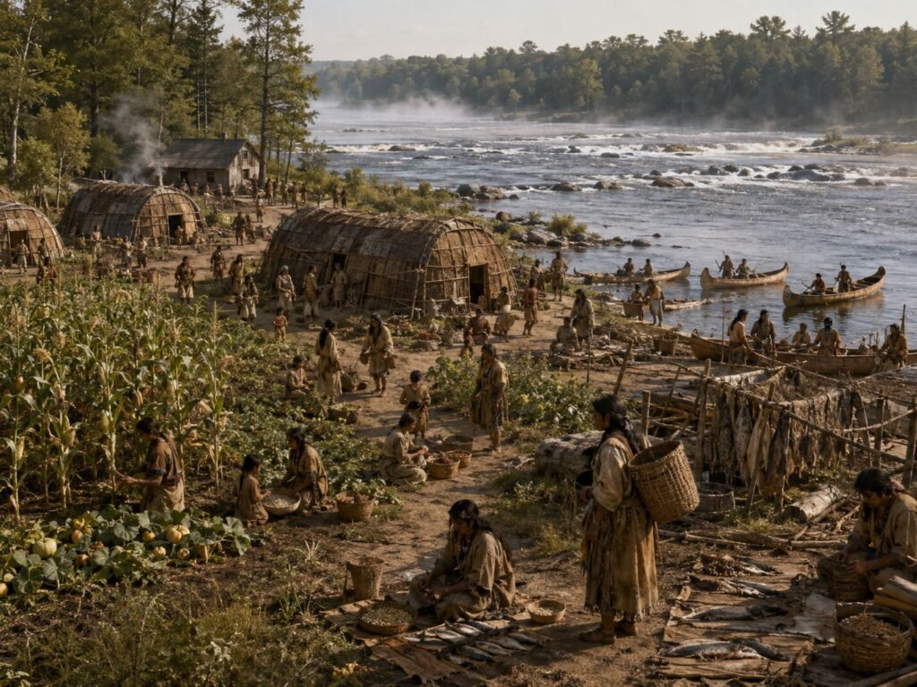
The Grand River corridor also supported Odawa communities before the city of Grand Rapids. The Grand Rapids Public Museum notes that the Odawa established permanent villages along the river, where trade later connected Native communities with figures such as Madeline La Framboise. Grand Rapids Public Museum timeline
The much older Norton Mounds near Grand Rapids add evidence of ceremonial use from roughly 400 B.C. to A.D. 400. The State Historic Preservation Office calls the surviving mound group one of Michigan’s most important archaeological sites and notes that it remains culturally significant to Native communities. Michigan historic site record
St. Joseph River and Niles
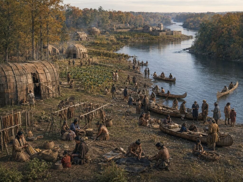
The lower St. Joseph River was another major Indigenous corridor. When the French established Fort St. Joseph near present-day Niles in 1691, they entered a region with nearby Potawatomi and Miami settlements. Western Michigan University’s long-running archaeological project describes the fort as a colonial hub that connected soldiers, traders, and neighboring Native communities for almost a century. Western Michigan University
Keweenaw and Isle Royale
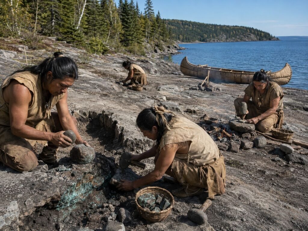
In the western Upper Peninsula, settlement history also includes specialized workplaces. Native peoples mined Lake Superior copper thousands of years before industrial mining. The National Park Service dates the earliest known copper working in the Keweenaw to at least 8,000 years ago and notes that objects made from that copper moved through far-reaching trade networks. National Park Service copper timeline
On Isle Royale, known to Anishinaabe people as Minong, hunting, fishing, plant gathering, maple sugaring, trapping, and spiritual practice remain part of the Grand Portage Band’s traditional connection to the island. National Park Service on Minong
These sites show why “settlement” is sometimes too narrow a word. A fishing rapid, copper source, sugarbush, garden complex, or ceremonial ground could be just as fixed in a community’s annual life as a cluster of houses.
Ezhibiigaadek Asin: The Thumb’s Sanilac Petroglyphs
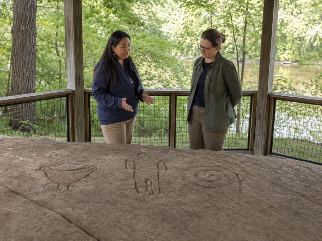
The best-known Native cultural site in the Thumb is not a village. Near the Cass River, Ezhibiigaadek Asin, the Sanilac Petroglyphs, preserves Michigan’s largest known collection of early Native teachings carved in stone.
The site is significant not only because the carvings survived. It is co-managed by the Saginaw Chippewa Indian Tribe of Michigan, the Michigan History Center, and the Department of Natural Resources. The state uses the Anishinaabemowin name meaning “written on stone” and notes the carvings remain culturally significant to Anishinabek people. Michigan History Center
That partnership is an important reminder: these are not simply traces of vanished people. Michigan’s federally recognized tribes are living governments and communities whose citizens maintain cultural, political and family connections to these places.
What the old surveys found around Michigan’s Thumb
For Huron County, this statewide story becomes very local.
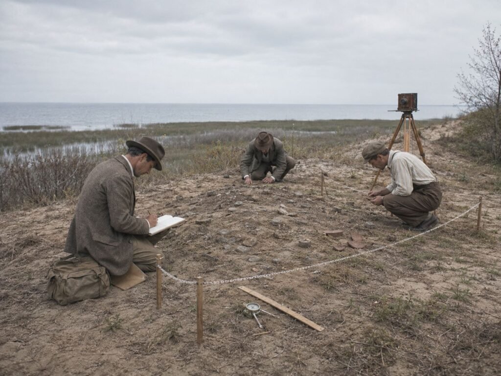
In 1901, archaeologist Harlan I. Smith published a survey of archaeological evidence along the eastern side of Saginaw Bay. His catalog included villages, camps, mounds, earthworks and stone-working areas in Huron and Tuscola counties. A modern archaeological database records Smith’s paper as covering earthworks, villages, mounds, and workshops in the two counties. Harlan Smith citation record
The old records reported a camp or small village on a sand ridge near the Sebewaing River; village or camp evidence near Bay Port and Sharpsteen Point; stone-working evidence on islands around Wild Fowl Bay; mound sites along the northern Thumb; and a circular earthwork at Bad Axe. Hinsdale later pulled many early reports into his statewide archaeological atlas. University of Michigan atlas
These early surveys are valuable, but they are not modern archaeological reports. Smith and Hinsdale sometimes depended on local informants or older observations, and early archaeology operated before present-day standards for tribal consultation, burial protection, and scientific dating. Their site lists should be read as evidence of a dense record, not as a final answer to who built every feature or exactly when.
Treaties changed control of the land, not the depth of the connection
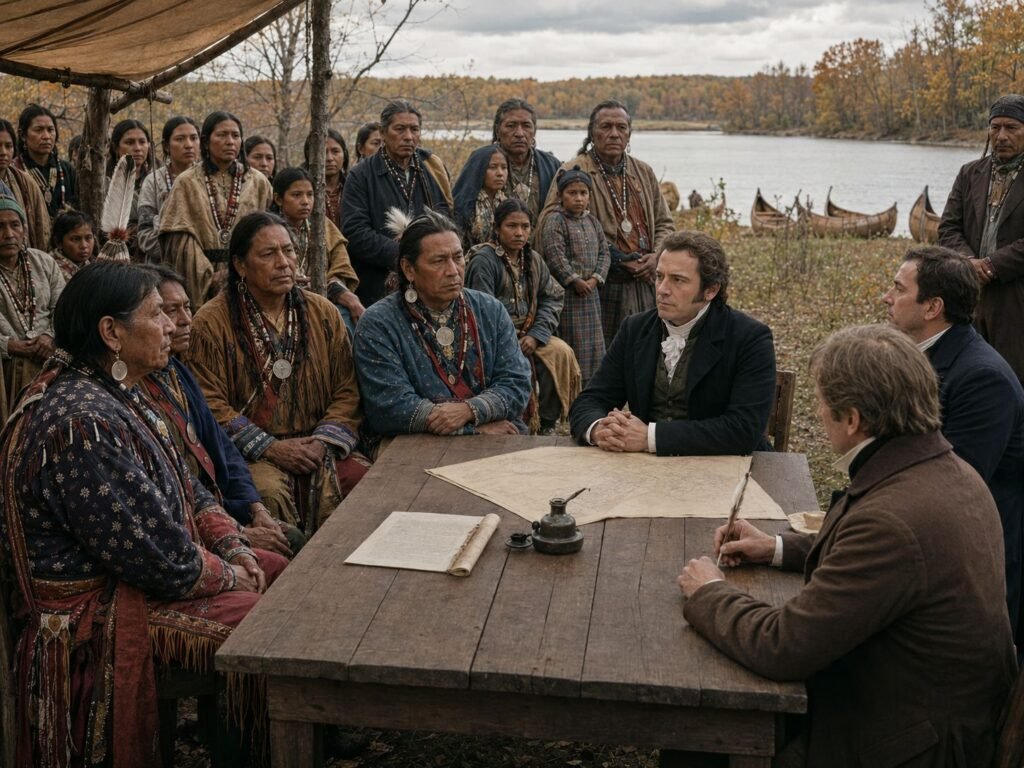
During the 19th century, treaties transferred enormous areas of Michigan to the United States. The 1819 Saginaw treaty covered much of the central Lower Peninsula. The 1836 Treaty of Washington involved vast parts of northern Lower Michigan and the eastern Upper Peninsula.
Those documents did not mark the beginning of Native history, nor did they make Native communities disappear. They reordered land ownership under U.S. law, narrowed Native land bases and intensified pressure on established communities. At the same time, treaty provisions preserved certain hunting, fishing and gathering rights whose modern exercise continues to matter. The National Park Service notes that descendants of the Odawa and Ojibwe signatories to the 1836 treaty continue to exercise treaty rights in northern Michigan. Sleeping Bear Dunes history
What old maps still fail to show
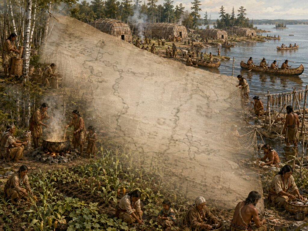
An 1820s map might mark a fort, mission, or trading post and leave miles of surrounding country almost blank. That blank space should not be confused with unused space.
The documentary and archaeological record shows villages along rivers, recurring fisheries at rapids and points, gardens in both northern and southern Michigan, sugar camps, wild-rice grounds, stone-working areas, copper mines, mound centers and long-distance routes by canoe and foot. Some places were occupied for generations. Some came alive for a few critical weeks each year. Many did both at different times.
The evidence around Saginaw Bay is especially strong because several kinds of sources overlap. The 1819 treaty names villages and reserves. Williams remembered large spring sturgeon gatherings at Point Au Gres. Early archaeologists recorded villages, camps and earthworks around the Thumb. Modern research confirms long-term corn agriculture in the Saginaw drainage.
What emerges is not a single type of Indigenous town. It is a regional system built around water, seasons, food and family connections.
That may be the better starting point for Michigan history. Before surveyors drew township lines and settlers named county seats, people already knew where the fish would run, where corn would grow, where maple sap could be boiled, where stone and copper could be worked, and which rivers led home.
Selected sources and further reading about Indigenous settlements in Michigan
- Sault Ste. Marie Tribe of Chippewa Indians: Story of Our People
- Ziibiwing Center: Treaty with the Chippewa, 1819
- Oklahoma State University: 1819 treaty transcript
- University of Michigan: Wilbert B. Hinsdale’s 1931 archaeological atlas
- The Digital Archaeological Record: Harlan I. Smith’s 1901 Saginaw Valley survey citation
- Michigan State University: Indigenous maize use in the Saginaw River drainage
- Dartmouth: ancestral Menominee raised-field agriculture in Michigan
- Michigan History Center: Sanilac Petroglyphs
- McGill University: research on 18th-century Waganakising Odawa lifeways
- National Park Service: Indigenous copper mining in the Keweenaw
- Western Michigan University: Fort St. Joseph and nearby Potawatomi and Miami communities
- National Park Service: Native history at Springwells/Fort Wayne, Detroit

